Deutsch

Regional Water Resources Management for Sustainable Protection of Waters in Germany
SEEZEICHEN
Tracer methods to identify groundwater- and inflow stratification and its impact on water quality and drinking water production

GETTING TO THE BOTTOM OF LAKE CONSTANCE
Since humans first settled there during the Neolithic Age, Lake Constance has been in a constant state of change. This is linked to the lake’s considerable significance as a natural habitat, a place to live, and as an economic and cultural region. In order to implement sustainable water resources management at Lake Constance in view of ongoing climate change and newly evolving demands with regard to its use, knowledge about the source of pollutants and their transport- and mixing processes – which is relevant for decision-making – urgently needs to be generated and tested. The joint project’s primary goal is to chart the risk of pollutants being distributed and deposited along various inflow routes by combining field data and results of different numerical models. To date, the proportion of groundwater in the overall water balance of Lake Constance is still not known and will be investigated in the project. In addition large-scale lake circulation and exchange processes around the inflows of the main tributaries will be studied by the joint project. The project thus gives information about the transport- and mixing processes for water constituents coming from different sources – superficial entry, river water plumes and groundwater inflows.
GOALS
SEEZEICHEN will use environmental isotopes and other natural tracer substances in a systematic fashion in order to detail the flow-, mixing- and substance transport processes which are observed in Lake Constance. The joint project partners’ approach combines isotope-analytical with hydrochemical, physical and ecological studies. This allows water body signatures to be used to identify, track and designate zones of impact on the lake. These include groundwater and its inflow, as well as surface water inflow. Furthermore, computer models are used to describe the impact of these different water bodies – superficial entries, tributaries and groundwater inflow – into Lake Constance.
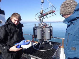
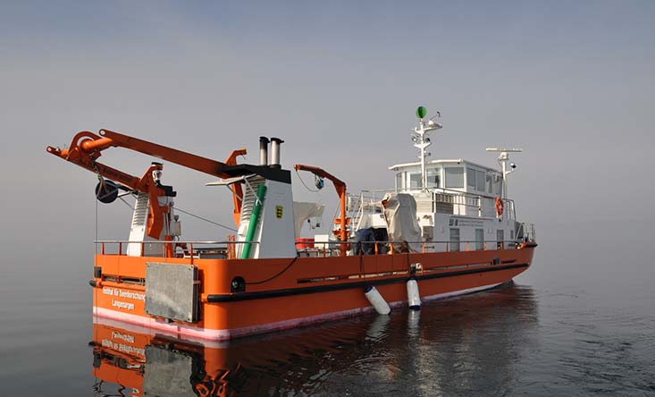
Measurement campagne on the Bodensee
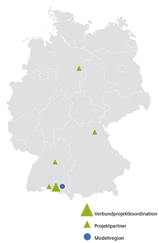
MODEL REGION
With its more than 500 square kilometres, Lake Constance is the second largest alpine lake and, after Lake Geneva and Lake Balaton, the third largest inland lake in Central Europe.
Key messages
- To generate a comprehensive description of the transport paths of substances in lakes, a coupled model system consisting of a numerical groundwater model and a high-resolution three-dimensional hydrodynamic model of the lake was developed for the first time. It serves to study and quantify inflows, transport paths, residence times and areas of interaction in a hydrogeological context and in the lake itself.
- A method tool box for the detection and quantification of groundwater in lakes was developed. It can be used to identify, localise and quantify groundwater inflows.
- The concept of water body signatures (‘fingerprints’), which are formed from the biological, chemical, physical and isotope-analytical properties of a water body, plays a key role in the study of different inflow routes.
- High-resolution three-dimensional hydrodynamic models were used, among other things, to interpret in situ point measurements, to determine distribution paths and to gain a process understanding for the complex mixing and transport processes.
Further Information
Kontakt
-
Landesanstalt für Umwelt Baden-Württemberg
Institut für Seenforschung
Dr. Thomas Wolf
T: +49 7543 304215
M: thomas.wolf@lubw.bwl.de